Services Offered
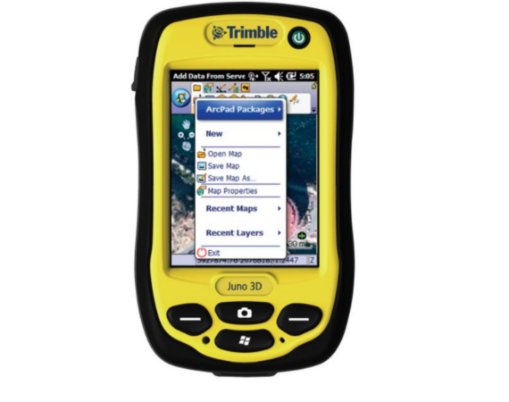
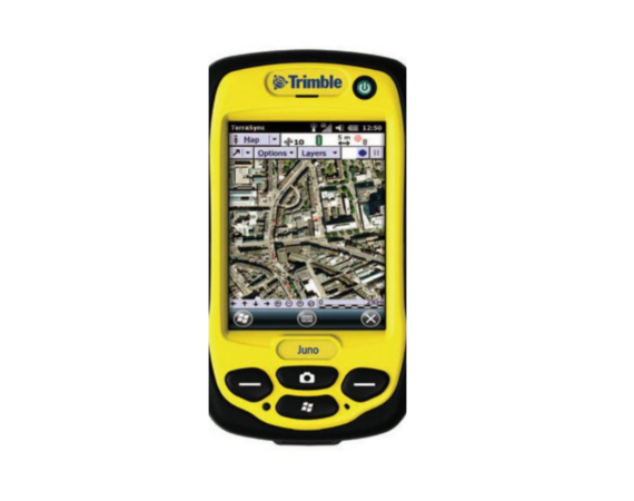
Software & Equipment
Trainings
Consultation


Training Course on Geographic Information System and Remote Sensing
Topics:
- Basic
- Advanced (Applications/Specialized Topics)
Application of GIS and/Remote Sensing on
- Forestry and Natural Resources Management
- Disaster Risk Reduction and Management
- Landuse planning and management
- Environmental hazards and vulnerability studies
- Environmental Impact Assessment and Modelling of Mitigation Measures
- Biodiversity Conservation
- Utility Manage
- Market Analysis
- Environmental Health and Epidemiology
Previous Trainings Conducted
- Training Course on Remote Sensing and GIS Application for Environmental Animal health Studies (RS/GIS-EAHMI)
- Training Course on Remote Sensing and GIS Application for Environmental Animal health Studies (RS/GIS-EAHMI) Batch 2
- Training Course on Basic Geographic Information System (December 2018)
- Training Course on Basic Geographic Information System (June 2019)
The ERSG provides Technical assistance, support and advice on the use of Geomatics for the following applications:
- Natural Resources Management
- Landuse Planning
- Environmental Hazards and Vulnerability Studies
- Environmental Impact Assessment and Modelling of Mitigation Measures
- Biodiversity Conservation
- Utility Management
- Market Analysis
Equip/Rental
Trainings
Consultation
Training Course on Geographic Information System and Remote Sensing
Topics:
- Basic
- Advanced (Applications/Specialized Topics)
Application of GIS and/Remote Sensing on
- Forestry and Natural Resources Management
- Disaster Risk Reduction and Management
- Landuse planning and management
- Environmental hazards and vulnerability studies
- Environmental Impact Assessment and Modelling of Mitigation Measures
- Biodiversity Conservation
- Utility Manage
- Market Analysis
- Environmental Health and Epidemiology
Previous Trainings Conducted
- Training Course on Remote Sensing and GIS Application for Environmental Animal health Studies (RS/GIS-EAHMI)
- Training Course on Remote Sensing and GIS Application for Environmental Animal health Studies (RS/GIS-EAHMI) Batch 2
- Training Course on Basic Geographic Information System (December 2018)
- Training Course on Basic Geographic Information System (June 2019)
The ERSG provides Technical assistance, support and advice on the use of Geomatics for the following applications:
- Natural Resources Management
- Landuse Planning
- Environmental Hazards and Vulnerability Studies
- Environmental Impact Assessment and Modelling of Mitigation Measures
- Biodiversity Conservation
- Utility Management
- Market Analysis