About Us
Environmental Remote Sensing and Geo-Information Laboratory
A research and service laboratory in the field of Geographic Information System (GIS) and remote sensing. The laboratory has spearheaded research programs on the application of information technology in environmental planning and management
of the natural landscapes. In addition, the laboratory is offering courses in GIS and remote sensing both taken by undergraduate and graduate students of the University.
The Laboratory was established in 1992 and was formerly known as the UPLB Geographic Information System (GIS) and Remote Sensing (RS) Laboratory. It mainly served as the research arm of the Australian-funded project on GIS and RS, and its training component was based in UP Diliman. In September 18, 1997 the Laboratory was renamed to Environmental Remote Sensing and Geo- Information Laboratory thru a CFNR Executive Order. ERSG is one of the laboratories under the Institute of Renewable Natural Resources, College of Forestry and Natural Resources, UP Los Baños, College, Laguna.
Functions of ERSG Laboratory
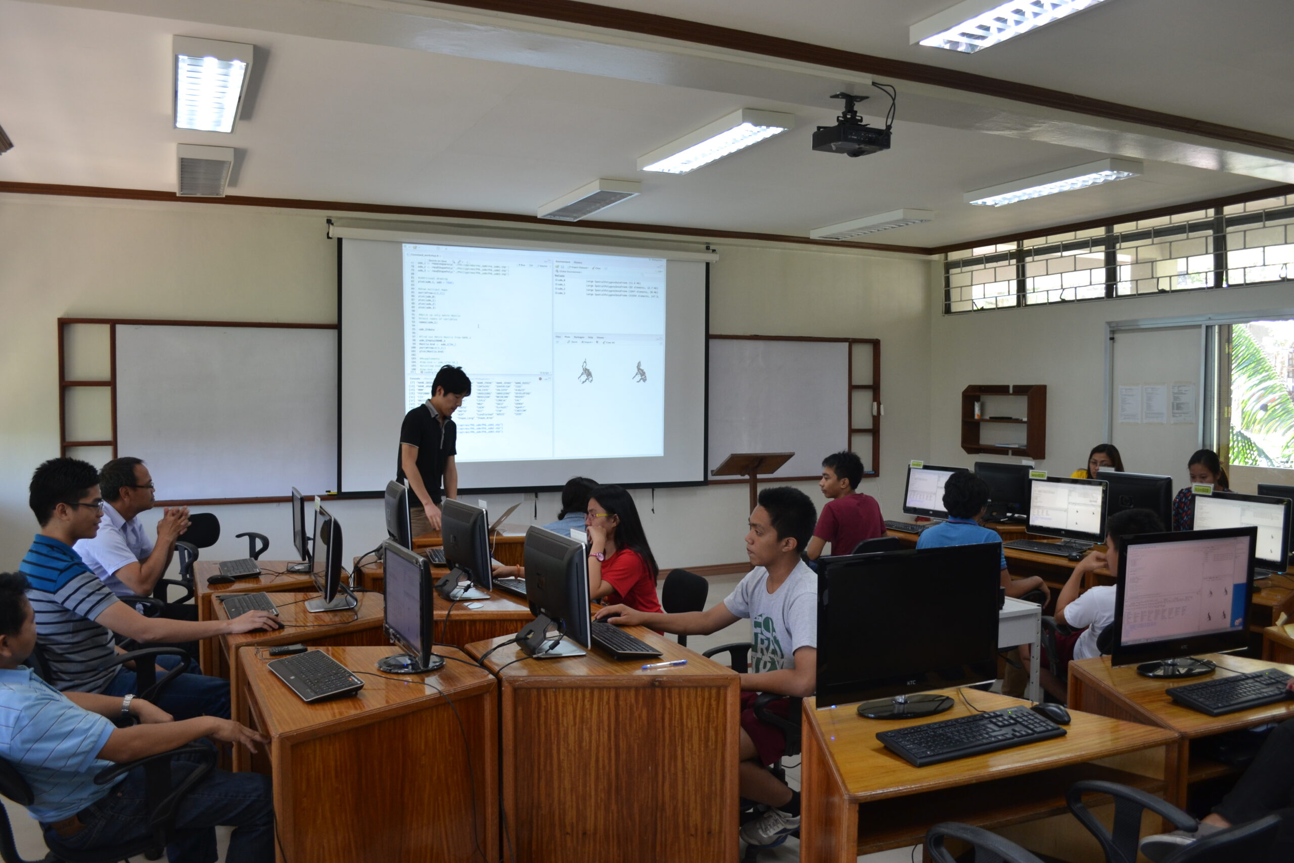
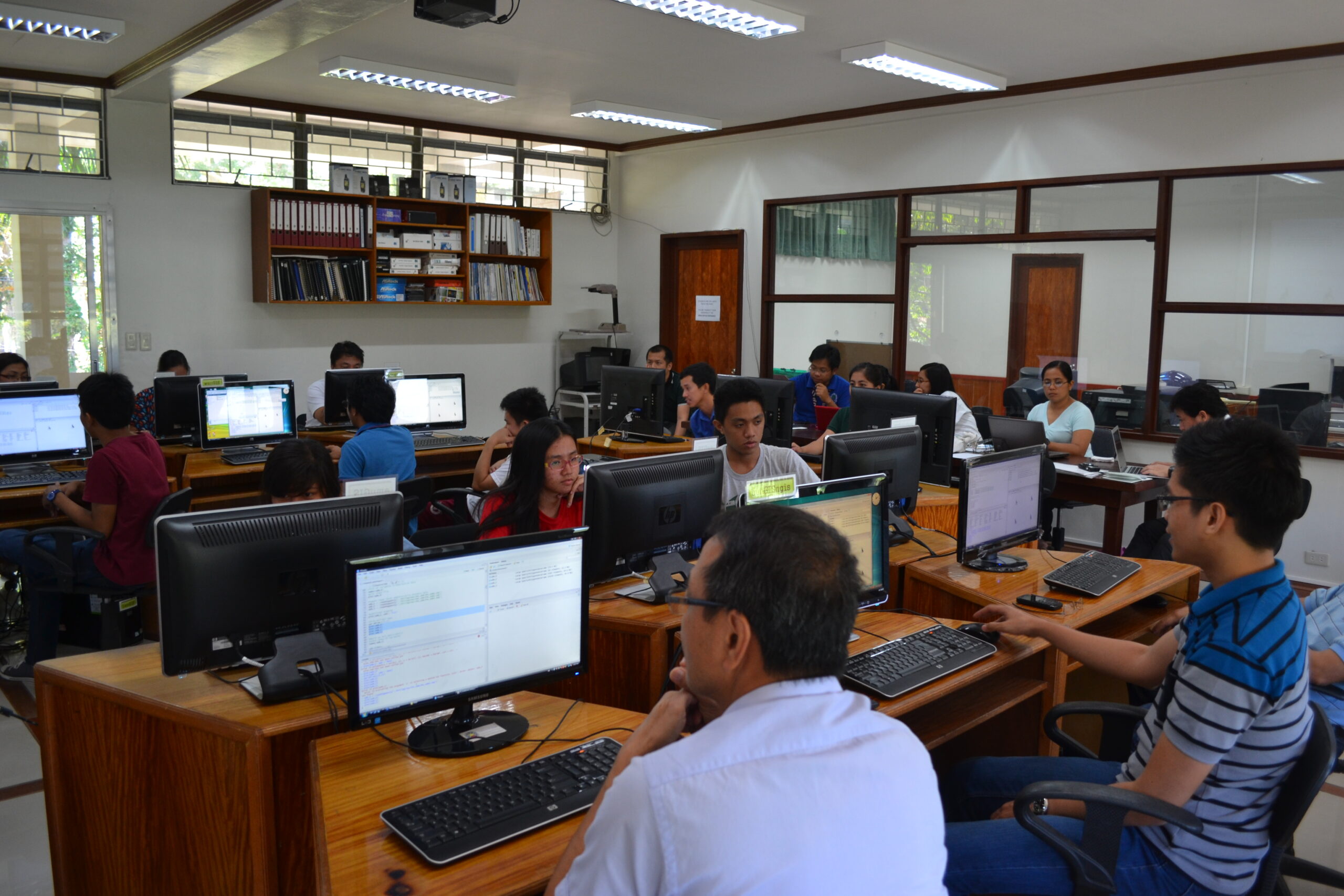
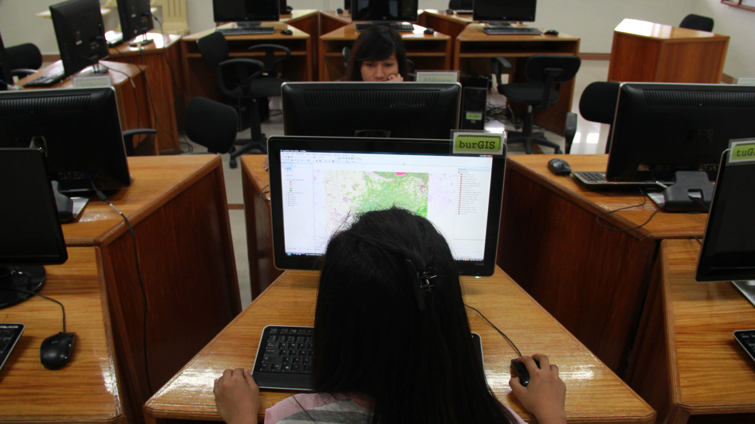
- Conduct training and seminars for the users in the College, planners, programmers, technical personnel and educators involved in environmental resource monitoring and evaluations.
- Enhance the capability of the laboratory personnel and facilities in servicing the faculty and research staff of the College in support of their instruction and extension functions.
- Provide the necessary skills and knowledge to students on the application of GIS and RS in natural resources management and conservation.
- Establish an effective and efficient environmental resource information support systems and tools.
- Source funds to finance the various activities of the Laboratory.
- Conduct physical resource/facility development in support of the aforementioned activities.