ERSG Laboratory
The GIS Hub of UPLB
Featured Projects
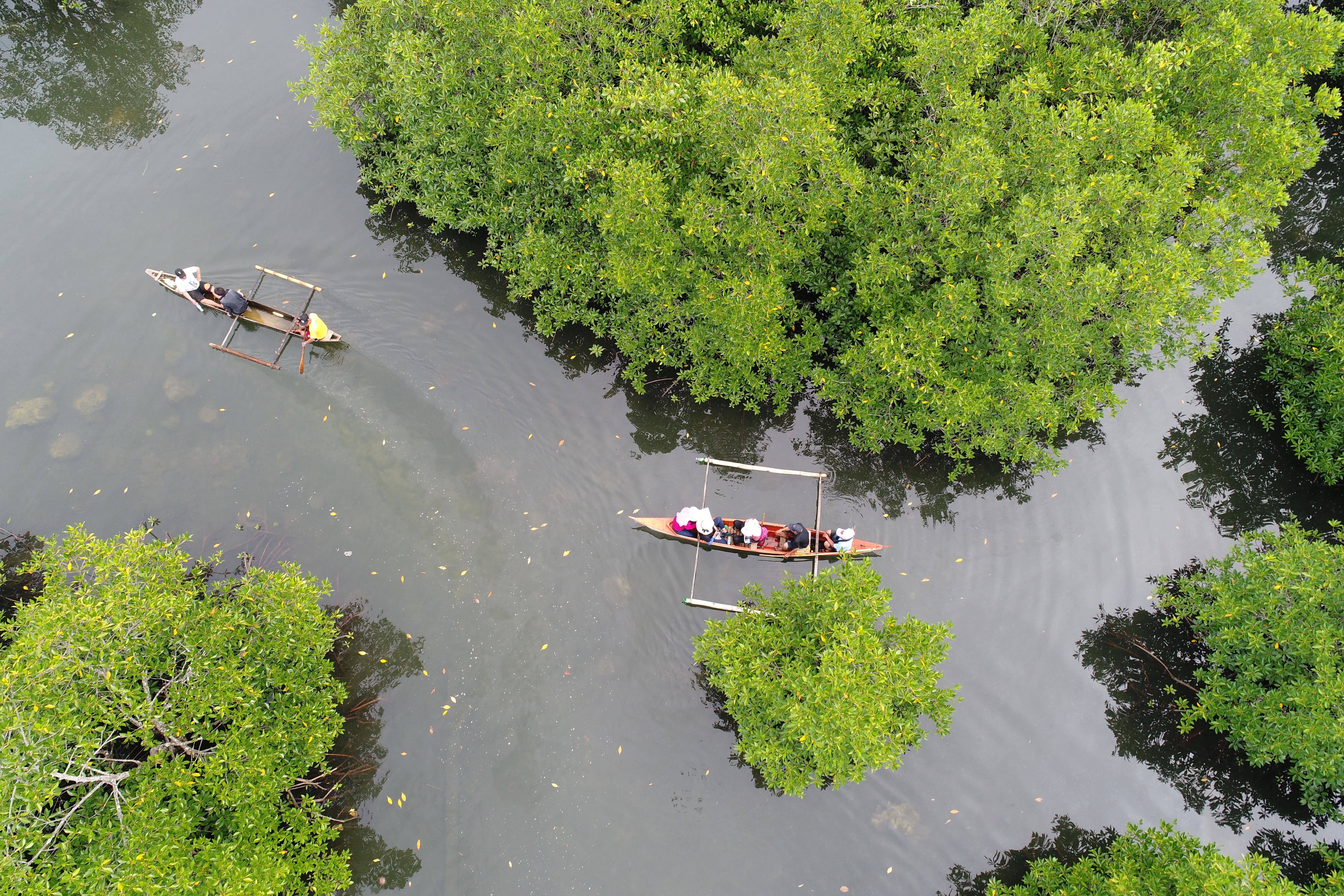 Project 2A: Philippine Coral Reef and Mangrove Remote Sensing (PhilCOMARS)Project Leader:Nathaniel C. BantayanDuration:21 December 2016 – 30 June 2018Read More
 Project: Carbon Sequestration Potential of MMFRProject Leader:Nathaniel C. BantayanDuration:1 March 2013 – 30 June 2018
Project 1: Forest Canopy ManagementProject Leader:Nathaniel C. BantayanDuration:16 February 2017 – 15 August 2018
Capability Enhancement of Environmental Remote Sensing and Geo-Information Laboratory (ERSG) as a Research and Service LaboratoryProject Leader:Cristino L. Tiburan, Jr.Duration:1 January 2015 – 31 December 2018
Student Corner
Theses, Dissertation, Practicum Reports
View More
“,”nextArrow”:”“,”autoplay”:true,”autoplaySpeed”:5000,”rtl”:false}’ dir=”ltr”>
GIS Database of Trees with 40 cm dbh and Above at the Forestry Student Park of the College of Forestry and Natural Resources
Estimation of Biomass and Carbon Stock Assessment of Built-up Areas Within Molawin-Dampalit Subwatershed, Mount Makiling Forest Reserve
Biomass and Carbon Stock Assessment of Para Rubber (Hevea brasiliensis) Plantation in Mt. Makiling Forest Reserve
cm+in+Permanent+Field+Laboratory+Area+in+1+in+Mt.+Makiling+Forest+Reserve’)”>
Carbon Storage Determination of Trees with DBH>cm in Permanent Field Laboratory Area in 1 in Mt. Makiling Forest Reserve
Student Projects
View More
“,”nextArrow”:”“,”autoplay”:true,”autoplaySpeed”:5000,”rtl”:false}’ dir=”ltr”>
Urbanization Change between 2002 and 2017 from Muntinlupa Alabang to Calamba City Laguna
Suitability Analysis for Human Settlement Areas in the Province of Marinduque, Philippines
Land Suitability Analysis of San Cristobal Watershed
Suitability Mapping of White Lauan (Shorea contorta) in Pantabangan-Carranglan Watershed, Nueva Ecija